
Teaching Map Reading Skills to Kids: Toddlers thru Teens
Knowing how to read a map is an essential skill for kids and adults. Not only do you need to know how to find out where you are, but you need to be able to navigate safely to your destination. Now more than ever we’ve become heavily reliant on technology. Our phones and GPS devices are great (when they work), but you shouldn’t be fully dependent on devices when you’re out adventuring. Knowing how to read a map could save your life! Today, we have North Carolina mom of three, Jen Barnes, here sharing how to teach map reading skills to kids. She covers everything you need to get started teaching toddlers about maps, all the way through what teens need to know.
The importance of map reading
What do you do if cell coverage drops can you can’t access the map on your phone? What if your GPS information is incomplete? How will your kids know where to go (or how to get where they need to be) if they can’t read a map. Map reading skills for kids are important. They will help you and your kids gain confidence and have fun as you adventure outdoors.
Maps are an essential part of any adventure. While many people have come to rely heavily on GPS technology, the ability to read a map is an important skill for kids (and adults) to learn. Whether you head out on a family road trip, hit an unfamiliar hiking trail, or do a self-guided walking tour of a big city, you need a map! Technology has made it easier to get around, but it has certainly not eliminated the need to know where you are and where you are going.
Learning to read and use a map teaches kids spatial skills. Spatial thinking and spatial awareness are some of the most important skills that students will develop as they learn how to read a map and about geography, Kids who develop robust spatial thinking skills will be at an advantage in our increasingly global and technological society.
Learning to love maps
As memory serves, there is not one family vacation in my past where a map didn’t have its place. As my dad packed up the station wagon and my sister and I crammed in the back on our sleeping bag pallets (yes, it was the 80s), we set off to explore new places. Never once did we leave home without our trusty atlas full of every road map we would need.
Admittedly, my dad is a bit of a geography nerd. He loves to pass along his interest and skills to his kids. When the Chicago Tribune published its Geography Challenge Quiz each year it was a family affair. We all participated and we all looked forward to boasting with our tidbits of trivia knowledge. At the time it was just a fun game, but now that I’m an adult, I realize how useful those skills have been and how well they still serve me today. I’m always the navigator in the family. I have an excellent sense of direction and can grasp the context of a place more quickly than others. These are skills everyone can learn, even starting at a young age and building from there.
History of the map
Maps have journeyed a long way over the last 3,000 years. From the first written maps to what we now know as GPS (right in our pockets). The oldest surviving map comes from a clay tablet depicting Babylon at the center surrounded by the ocean. The purpose of this map was not for navigation, but for the map reader to place himself at the center with an idea of a bigger world around him.
The Romans created maps that were largely unrealistic, done to prove a point that their empire was cohesive. First attempts at realistic map-making came from Claudius Ptolemy who was keenly interested in giving lines (longitude and latitude) to distinguish areas. From that maps evolved as economies developed and empires expanded and contracted. Sea voyages that led to exploration and new land discoveries through travel-filled in details of how the world is shaped. Lands and bodies of water could be related to other lands. Fast forward to today and we can still find how maps are useful and helpful even with the technology we have access to.
Types of maps
Most of these maps can be placed into one of two groups: reference maps; and, thematic maps.
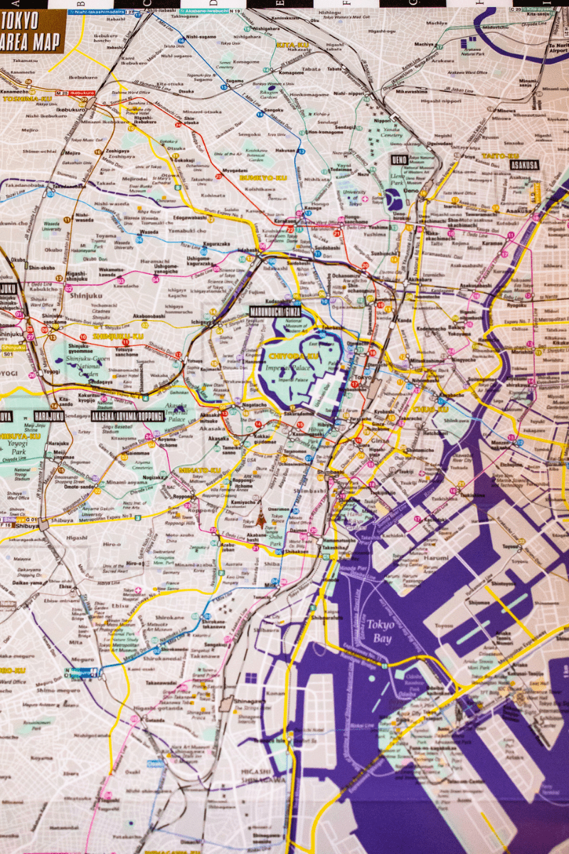
Reference maps show the location of geographic boundaries, physical features of the earth, or cultural features (such as places, cities, and roads). Examples of reference maps include political maps, physical maps, road maps, topographic maps, time zone maps, geologic maps, and zip code maps. Political maps are the most widely used reference maps. These are the types of physical maps that are mounted on the walls of classrooms and found in road maps. They show the geographic boundaries between governmental units such as countries, states, and counties. They show roads, cities, and major water features such as oceans, rivers, and lakes.
Thematic maps are different. They show the variation of a topic (the “theme”) across a geographic area. Examples of thematic maps include weather maps, income maps, and resource maps.
Making map reading for kids fun
Most kids will learn the very basics of how to read a map during their elementary school years. However, if you want to create a proficient map-reader, you will want to start young and then reinforce those map-reading skills when you are out in the real world with your kids. Children of all ages can learn about maps. It’s never too soon (or too late) to teach this fundamental skill. There are lots of creative ways to weave map reading into your playtime and outdoor adventures.
You can start to teach map reading skills to kids as young as toddlers and continue to work on building those survival skills out of it as your kids move into the teen years. The key, like most educational things in life, is to keep it relaxed and make it fun.
I am a firm believer that kids learn best via experience so this gives them a chance to explore and learn at the same time. Whether that’s incorporating maps in your outdoor adventures or using them to aid in fun imagination play with treasure hunts, geocaching, and scavenger hunts. They’re having fun, being active outside, and learning an essential outdoor skill. As a parent, you are rewarded with watching those skills develop and evolve!
Introduction to map reading skill (toddlers and preschoolers)
When your kids are very young, the best way to learn map reading is to start with books and pictures. When language is limited and concepts such as space and distance is hard to grasp, you can find other ways to introduce the idea of a map. Books are a great introduction to maps. By reading out loud to young children and showing them pictures of simple maps, they’ll begin to understand the concept that maps are a visual representation of a place.
Start with books like There’s a Map on My Lap and Follow that Map!, which use pictures and storytelling to teach fundamental map skills without kids even realizing it. A map book will begin to open up your toddler’s world and get their little sponge-like minds grasping that there is more beyond what they can see and experience.
Find pictures of maps that are beautiful and simple to keep the attention of younger kids. Point to where they are in that moment and then show them where Grandma or Aunt Jane lives so they can see the space between. The scale does not matter at this age, but toddlers can begin to understand place and space and distance.
Also, start using directional words around your young kids to establish a rich vocabulary around map reading. When you’re out walking (or even driving), note the direction you’re traveling so they get used to hearing North, South, East, and West. Ask them whether you’re turning left or right and help them figure that out. Point out landmarks, street names, etc.
Practical applications for toddlers
As a way to reinforce some of what they have learned, try an activity with a basic treasure map. First, hide a small treasure in your yard or nearby park. Then draw a treasure map using only pictures and symbols. Use landmarks they are very familiar with like the swing set or garbage can or fence so they can follow along easily and not get frustrated.
Take advantage of showing your toddler maps as you travel or when you visit the zoo, etc. If you are open to involving technology, you can use Google Maps as a more interactive map activity. As usual with toddlers, keep it light and short to match their mood and attention span!
Map reading basics for elementary school ages
Kids in elementary school still love books, so continue to read aloud and check out books about maps from the library that they can learn from and enjoy at the same time. There are loads books that can help teach and establish basic map skills. For example, there are so many amazing National Geographic atlases, beautifully illustrated books with pictures, fun map trivia and activity books, interesting kids’ road atlases, interactive world atlases, state map coloring books, and more. Your kids at this age will learn more distinct map reading skills as they learn the elements of a map (see below) and how to use them.
This is also a great age to introduce puzzle maps, globes, and maps of places they know (like their hometown) or want to know about (like Hogwarts). Let them check out Google maps to find their house and Google Earth to visit far-away interesting places.
Basic elements of a map
The basic map elements of a map include title, scale, legend, compass, and longitude & latitude. Here’s an overview of map symbols, parts of a map, and how elements of a map will help your child learn basic map reading skills.
Title – The title lets you know exactly what the map is portraying. You definitely need to make sure you have the right map and the title helps you know that you have the best tool.
Scale – The scale gives you the ratio of a distance on a map to the corresponding distance on the ground. Maps are a tool to give relationship of where you are to where you are going. Map scale helps you decipher the tool and give context to what you actually need to do and how far you need to go.
Legend – A map legend defines the features of a map by displaying a symbol followed by a text description of what the symbol represents. It all begins to make sense by using the legend on a map. The map key is part of the map legend.
Compass – Often also called the compass rose, the map compass is a figure on a map to display the orientation of the cardinal directions North, South, East, and West. The map orientation symbol allows you to understand how the map was drawn in relation to direction.
Longitude and latitude – The system of lines that describe the location of any place on Earth. Latitude lines run East and West while Longitude lines run North and South.
How to practice map reading with kids
There are loads of map reading practice worksheets for your elementary student to learn how to use the map elements. You can find some like these maps and geography worksheets online. That’s fine to start, but I think the best way to learn is by bringing the map to life!
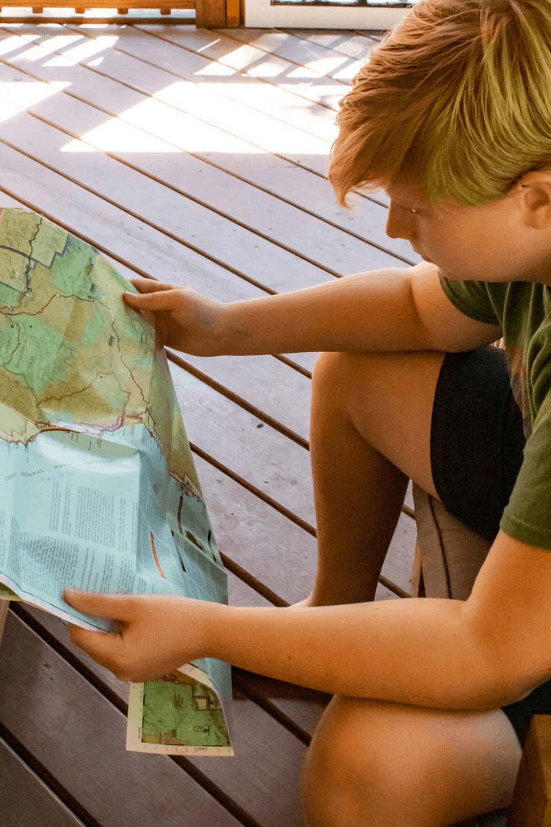
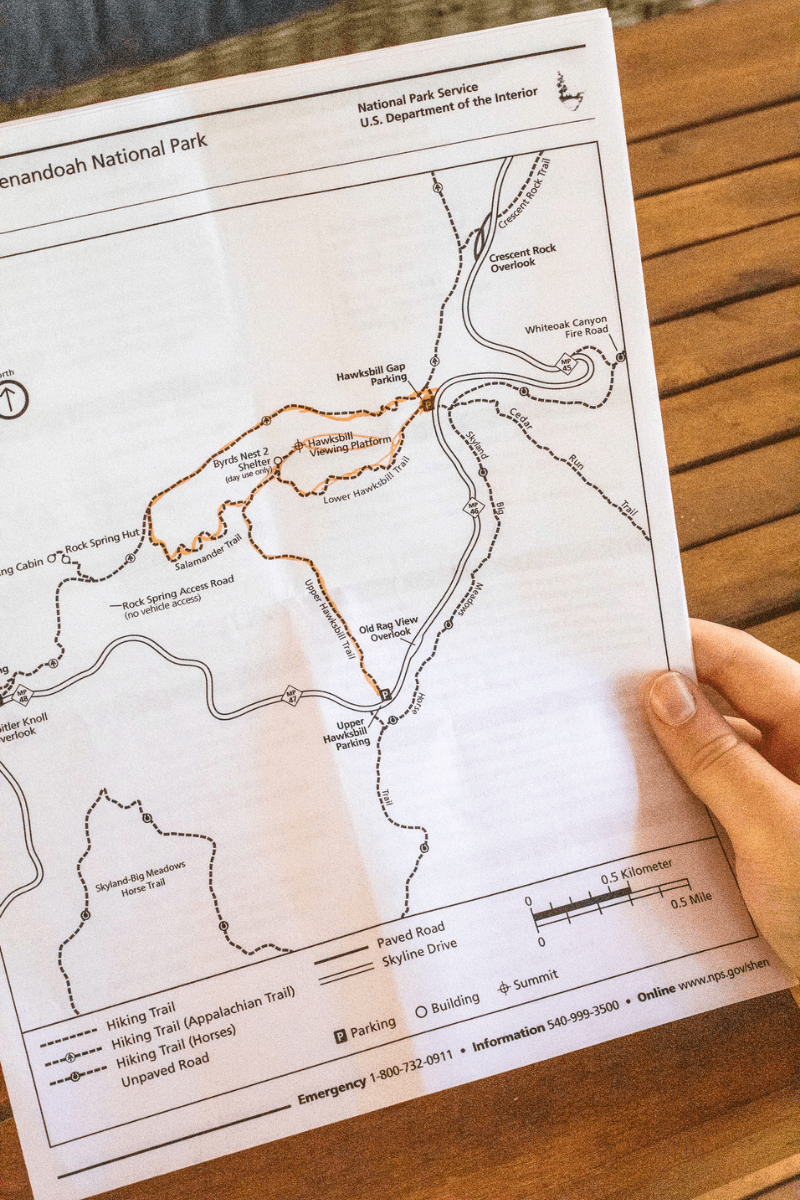
I suggest choosing an outside activity your kids enjoy that requires covering some distance — biking, hiking, or kayaking. Next, find a map that matches a location where you can do that activity. Study the map together and locate each of the main elements. Try to map out your route on the map and practice the distance with the scale. Make note of any landmarks that may you may be able to utilize.
Also, consider purchasing a large colorful world map or a large map of your home country (or city or state) that you can display on the wall in your home where you kids have easy access to it. Mark home and then begin making places you visit. Show the kids the distance, use your finger to trace the route you took to get there. Perhaps you can also mark places you wish to visit someday.
They can also practice making their own map. They can create a treasure hunt map (x marks the spot) or a scavenger hunt map for siblings or friends. They can draw a map of their neighborhood or plan out their route to school. Creating their own maps will help them conceptually visualize their area and think about spatial design, distance, the map key, and directions.
Map reading skills for middle school ages (tweens)
Reading a map will become more and more natural the more practice your kids get. Tween map reading skills will be reinforced in school with greater detail in their geography curriculum, social studies, and history classes. This will further their study of map key symbols and basic concepts, as well as develop their depth in map reading activities.
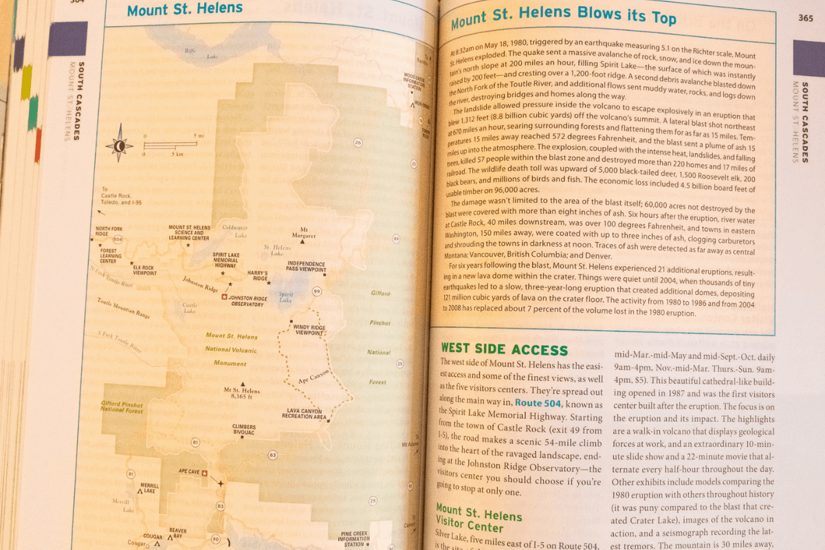
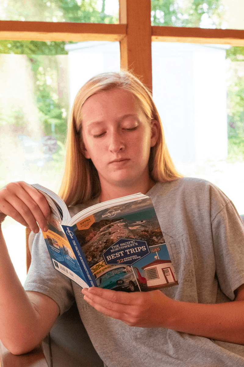
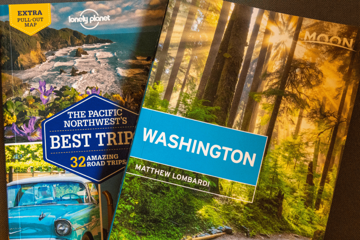
At this age, for more exposure at home, I suggest helping to build their map reading skills through travel guide books. This may seem strange, but having your tween choose some destinations that intrigue him/her will capture the interest even more. All of the great guides like Lonely Planet Kids and Moon Travel Guides have map inserts for every destination they highlight. From detailed city maps to hiking trails within National Parks, these travel guide books will be another excellent practice tool. Finding a place or area that piques their interest and having them read about it is a fun way of teaching map skills that doesn’t feel like work.
Tween map skills practice
If you have an outdoor adventure coming up, task your tween with some map research by giving them specific goals. Older kids love being involved in the planning process and having a say in what you do and where you go. There are fun and simple ways to put this desire to be involved to use in building map reading skills. For example, ask them to locate any interesting pit stops along a road trip route. Hand them a paper map and have them help plan the route from point A to point B during your road trips. Ask them to calculate how far your campsite is from the hike you want to do.
The main idea at this age is to foster leadership skills and build confidence as your tween ventures more outdoors. These are also opportunities to show your tweens how to be less tech-dependent. They need to know how to use a map when technology isn’t necessary or even possible. Technology sometimes fails, either because you’re in a remote area or maybe your phone dies. Developing your child’s map reading skills now will lead to a time when kids can use their map reading skills to help themselves and others, which will build and grow their independence and confidence.
Map reading for teenagers
I truly believe that map reading falls under basic life skills for kids. By the time they reach their teen years, your kids should be able to identify the right map to use and know how to properly navigate their adventure. However, if your teen is not yet proficient at map reading, it’s never too late to learn new things.
It’s definitely never too late to practice and hone those skills. Every teen, whether introverted or extroverted is looking to establish themselves in the world. They are out to prove themselves capable. If your teen does not yet fully grasp the purposes and elements of a map, go backwards and start from where you need to (see the steps listed above).
You can assign practical map reading tasks to your teen based on their personality and interests. If your teenager is showing signs of leadership and wants to take charge, it’s time to let them fly. When you have a teen that is more reserved or cautious, you can encourage him/her to be the route planner. He/She can take a crucial behind-the-scenes role.
Adding elevation to your teen’s map reading skills
During the teen years, you can introduce topographical maps and contour maps that show not just space, but the land relationship. Elevation is a big deal and very important to know and be aware of before choosing a hiking trail. You will want your teen to be able to read a map that has those markings. Contour lines will help you do this and learn about elevation.
A topographic map legend will show natural features and include wavy-like lines that will extend from a peak. These contour lines let you know how much elevation gain there will be on a trail. Understanding how to read elevation on a map will help you determine if you can safely accomplish a hike. Maps provide guidance and navigation by showing what to expect and guide you in assessing specific routes.
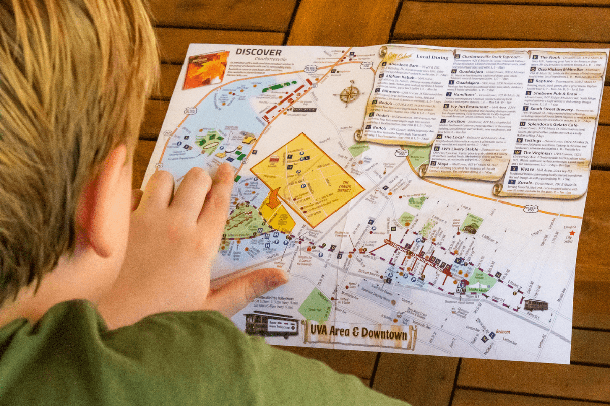
City streets and transportation maps
Another next step at this age can be very detailed city maps and transportation maps including an MTA subway map or a city bus route map. Knowing how to navigate around a city or plan out your transportation route is a very important skill for everyone to learn and great skills to teach teens.
One of the best ways to experience a city is on foot and using public transportation. So, this is an awesome opportunity to let your teenager take charge and exercise his/her maps skills. Study the map before you leave home and mark your lodging and main points of interest before you drop in. Note the places you’ll be traveling to and how you’ll get there. Being prepared gives your teen all the more confidence.

Dealing with pushback
Sometimes it can be difficult to convince kids (especially teenagers) that map reading is a necessary skill. They will argue that they can just use their phones or the car navigation system. Much of the time that is true, but not always. Technology can fail. Phones can die. Knowing where you are and how to get where you need to go via an alternate method is imperative.
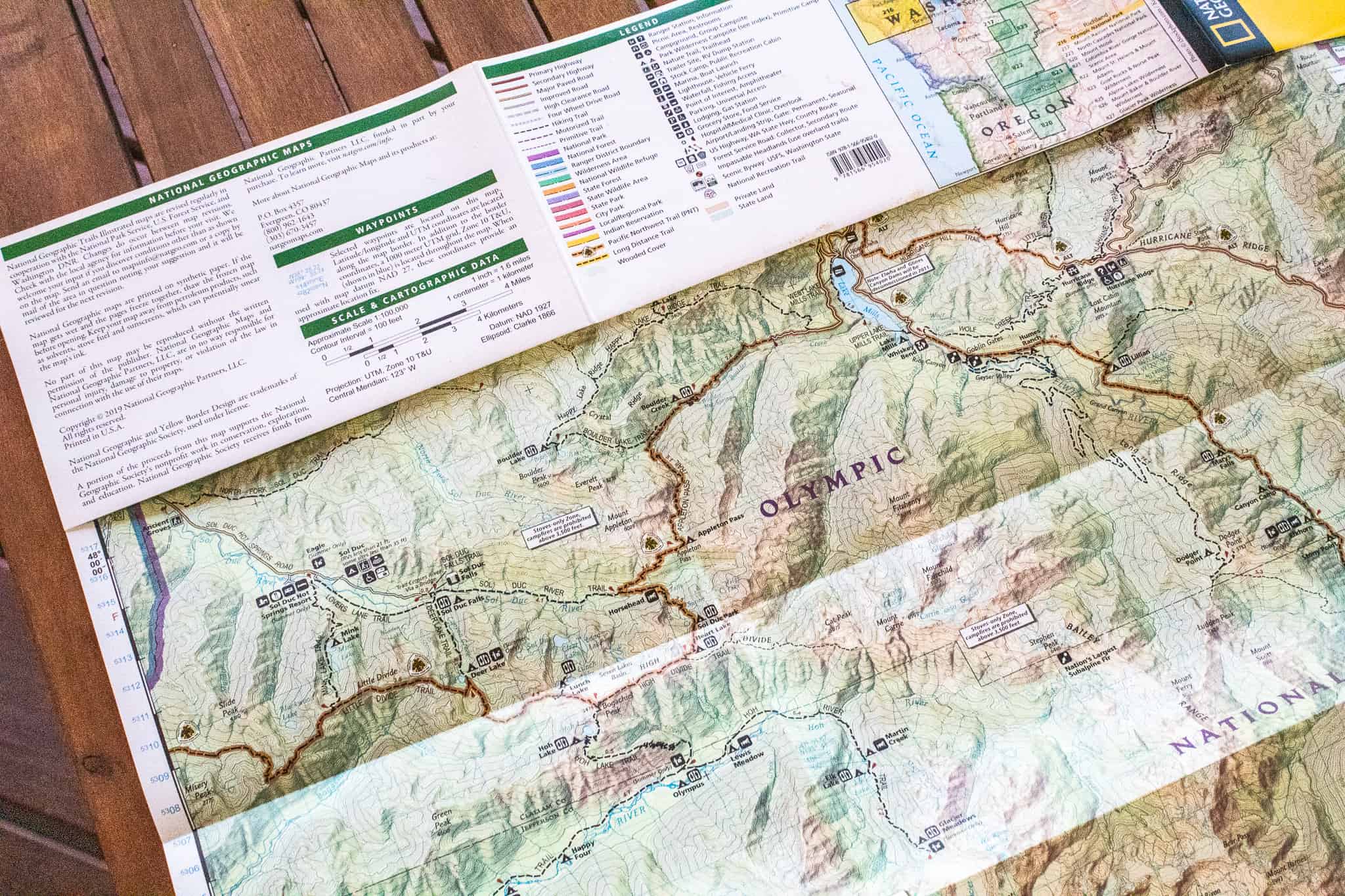
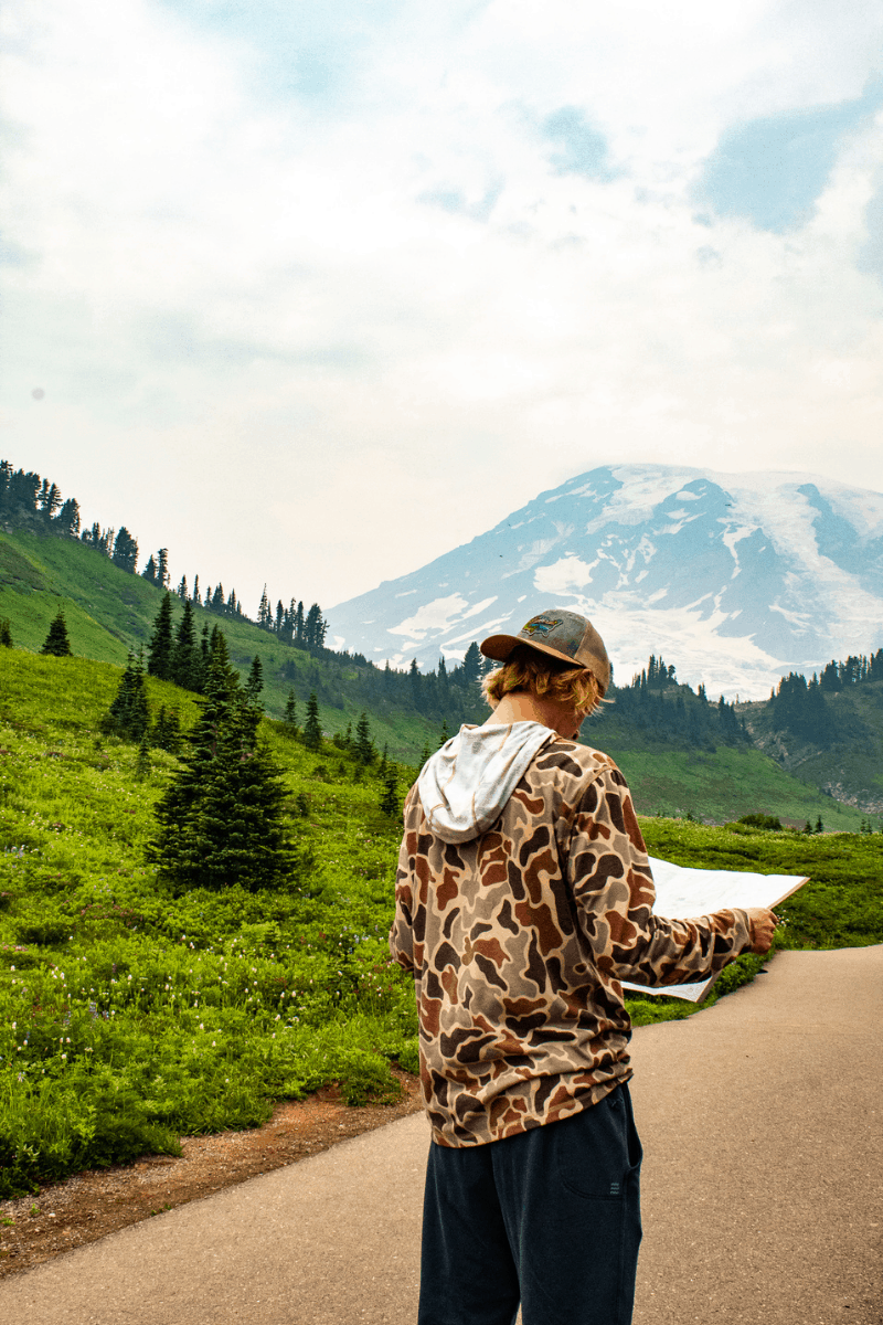
Recently, our family was out adventuring deep in the wilderness areas of Olympic National Park in Washington. It’s an incredibly beautiful, dense, and remote location. It’s also incredibly difficult to get a cell signal for any aid on roads or trails in the area. There were quite a few times when we were unable to access maps on our phones or use our GPS.
I felt very proud that my kids had the life skills to use a map to locate where we started, where we are, and where we want to go. And while it feels nice as a mom to watch them figure it out, it’s even more meaningful to them. To have the confidence and the maturity to use a tool and trust that their practice led them to a place of security. It gave us all more confidence and independence when out adventuring. I promise you; maps are not dead.
Other map reading activities
If you are looking for other outdoor activities to practice your map reading skills, check out Geocaching with Kids. Geocaching is a real-life treasure hunt, where you find small caches (filled with trinkets and prizes) using your GPS-enabled smartphone. It’s a great way to teach kids about map reading while having fun and getting outside.
Can you kids read a map?
How will your kids use map reading skills on your next outdoor adventure?

About the author
Jen has been married to her original adventure partner, John, for 20 years. She is a mama to 3 teenagers who, although they have busy and independent lives, love to adventure in the outdoors when they can. Jen is a native of Chicago, but has lived in South Carolina for two decades and calls it home. She’s always planning the next adventure for herself or her friends, whether near or far. Hiking, kayaking, sailing with her family, or traveling the world is all about the experience and the journey. Her extroverted nature keeps her talking and smiling with anyone she meets along the way. She’s on a mission to show other busy families that traveling with teenagers is possible and fun!
You can find Jen online in the following locations:
Instagram: @gofamilyadventure
Website: Go Family Adventure
The post Teaching Map Reading Skills to Kids: Toddlers thru Teens appeared first on RUN WILD MY CHILD.